01
Land map
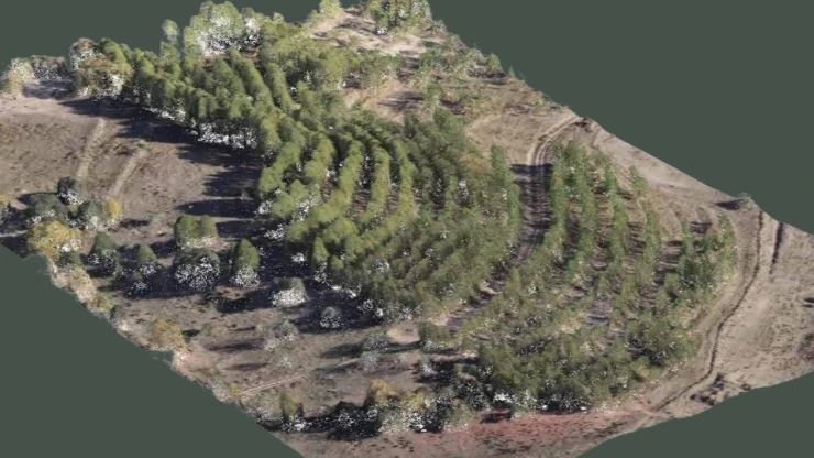
Expand UAV flight coverage in border areas to strictly manage land boundaries, promptly detecting encroachments or terrain changes.
Manual measurement methods (total station, static GPS) take a lot of time and labor when deployed on a large scale or in complex terrain (hills, swamps).
Need a fast, highly accurate data collection solution (cm margin of error) with the ability to comprehensively digitalize the survey area in 3D.
High cost, disconnected data makes it difficult to visually imagine the entire landscape and poses potential safety risks for survey personnel.
that will completely change your business's traditional survey process:
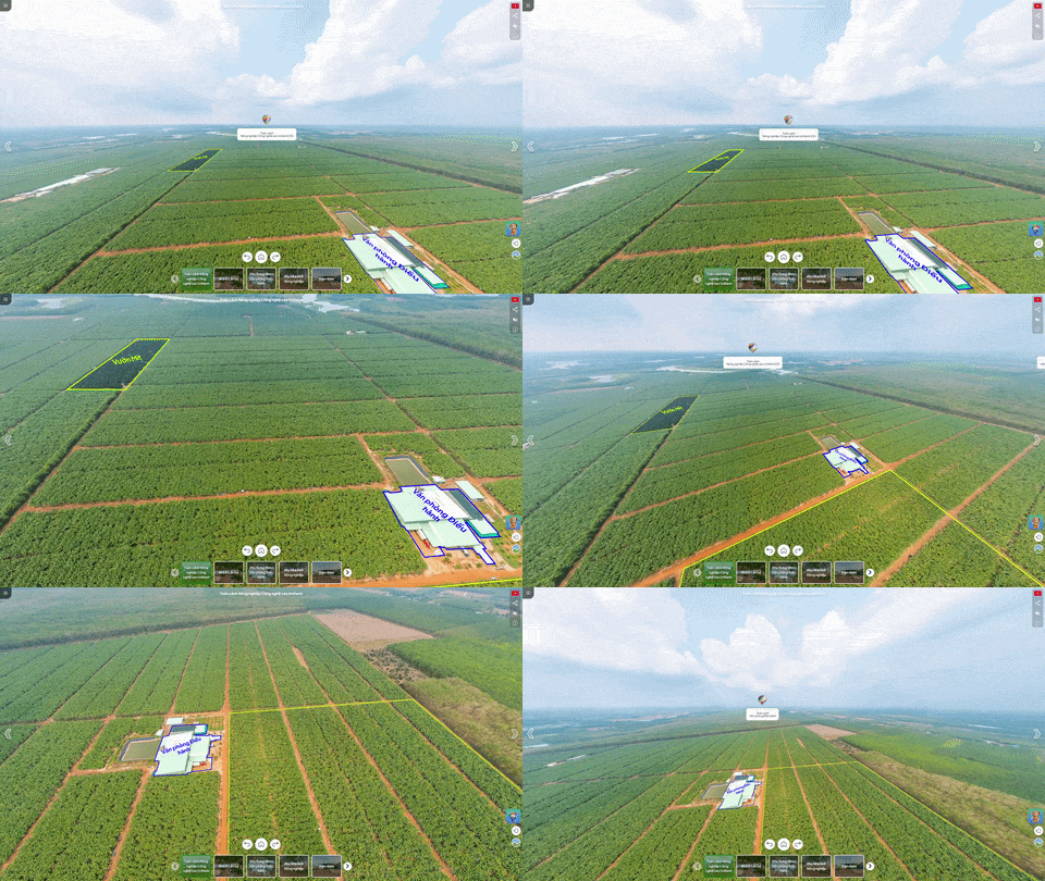
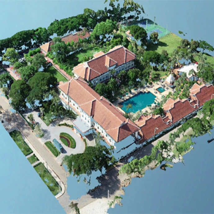
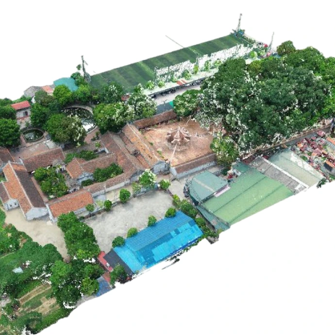
Complete surveys covering tens of hectares in just a few flight hours. Process digitalized data, export reports, and maps right after the flight.
Only 1–2 operators are needed to run the UAV instead of a massive surveying team. Accurately optimize earthwork volume, avoiding budget loss or waste.
Real-time Kinematic (RTK) technology ensures centimeter-level accuracy, meeting strict standards for cadastral maps and engineering designs.
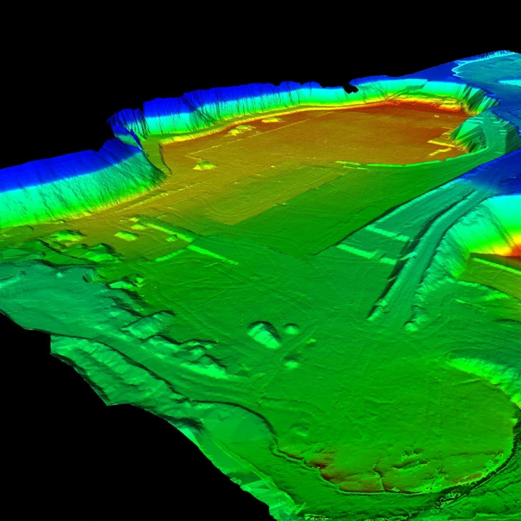
Automatically calculate volume (Cut & Fill) and analyze slope & flow direction.
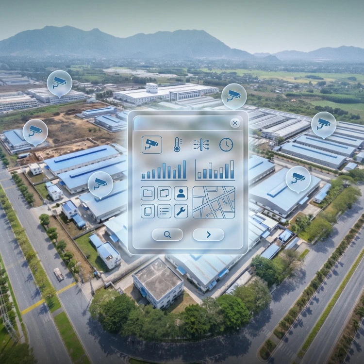
Integrate IoT and CCTV for real-time system monitoring and maintenance. Automate reporting and access control, supported by an AI assistant.
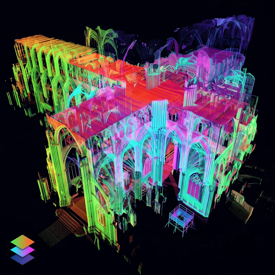
Superimpose survey iterations from different time points to accurately track construction progress or terrain changes over time.
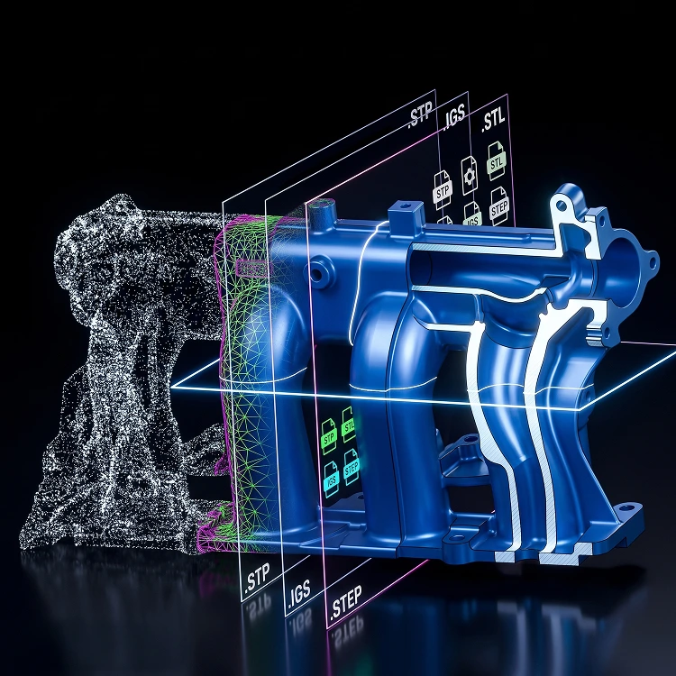
Export technical standard files for all common specialized software. Export cross-sections at any position on the model.
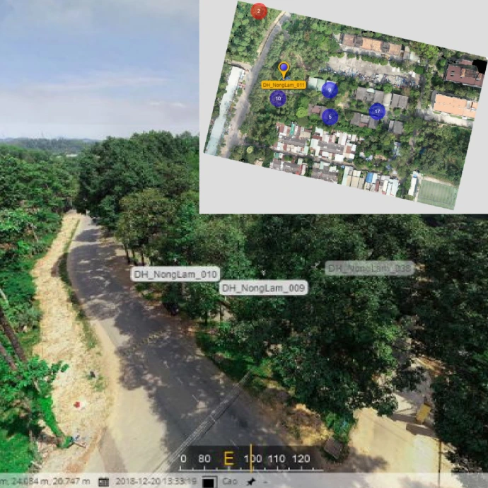
Comprehensive digitization solutions from surveying to construction operation
Expand UAV flight coverage in border areas to strictly manage land boundaries, promptly detecting encroachments or terrain changes.
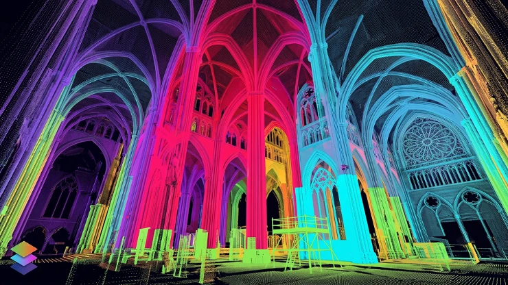
Layering data from different scanning flights helps accurately assess actual construction progress against the planned schedule.

Directly overlay design drawings onto real 2D orthogonal and 3D models (CAD/BIM). Identify the location and scale of the project in the surrounding space before deployment to detect design conflicts early, avoiding errors in construction.
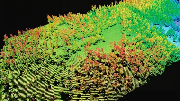
Applying AI in inventorying the current state, for example: Recognizing & counting the number of tree canopies and rock masses, eliminating errors from manual counting.
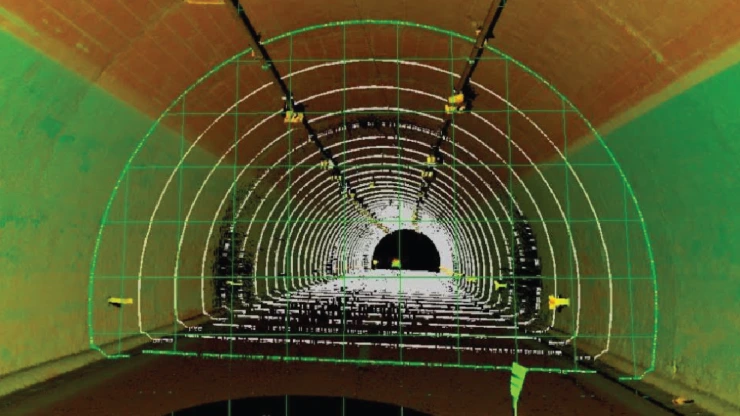
The system automatically compares real terrain data with design elevations, accurately calculating cut-and-fill volumes.
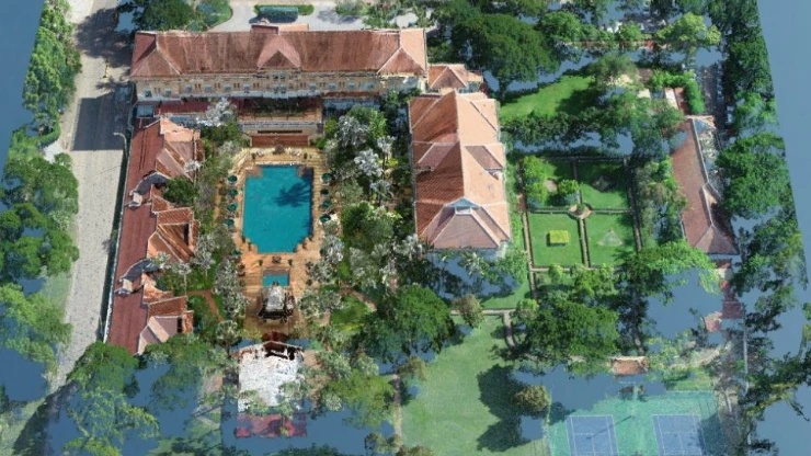
Use actual elevation data to simulate the view from specific floors or locations of an unbuilt structure.
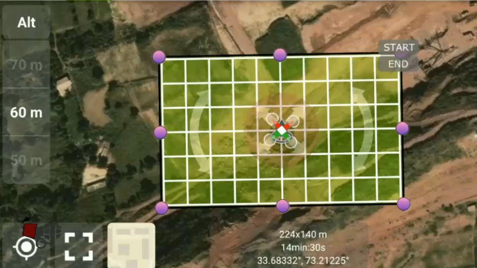
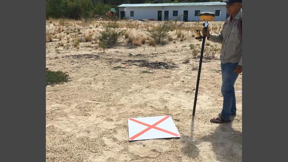
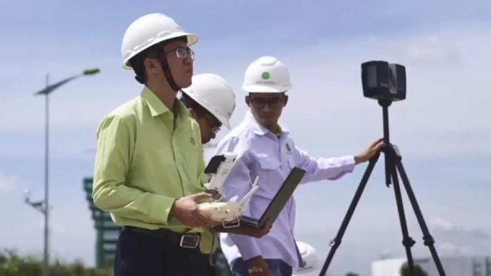
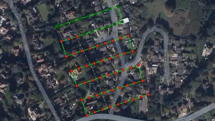
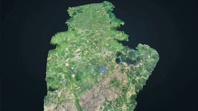
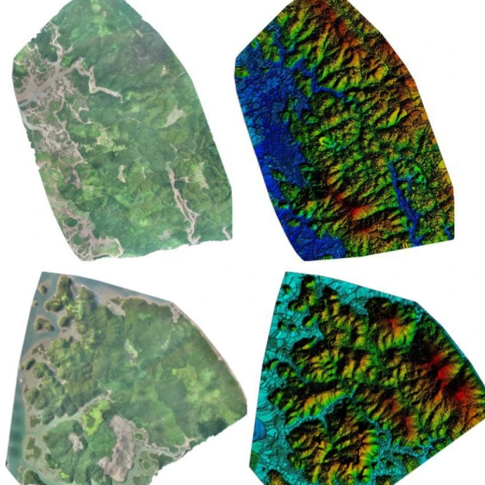
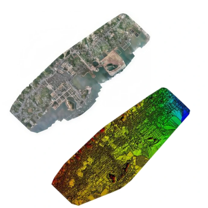
Provide a complete set of 2D & 3D digital terrain data, ready for smooth integration into existing technical processes

What value does 3D/360 digitization bring to my business?
What form of digitization is truly suitable for my current situation?
How to start digitization with the most optimal cost for the business?
Star Global 3D's expert team is always ready to listen and answer all your questions. Leave your information now to receive a response within 24 working hours